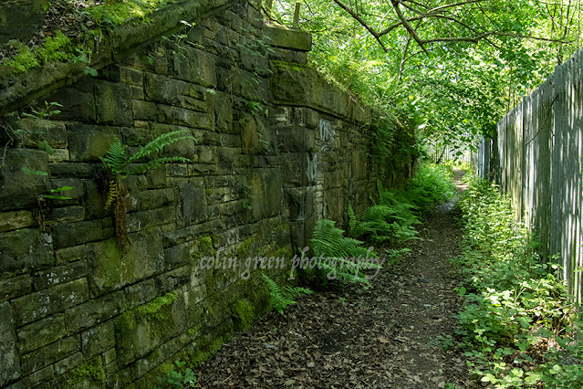
The Calder & Hebble Navigation isn't just a stretch of water; it's a living timeline, carving its way through the heart of West Yorkshire's industrial landscape. My recent walk, capturing the route from Cooper Bridge towards Brighouse, offered a profound look at how centuries of industry and modern engineering coexist with the quiet, reflective beauty of a working waterway.
Cooper Bridge: Where Industry Meets the River
The walk begins near Cooper Bridge, a historically important junction on the old road network. Here, the immediate scenery is dominated by the ghosts of industry and the hard lines of modern infrastructure.

The Mill and the Chimney: One of the most striking initial views is the reflection of the large Victorian mill building and its towering chimney in the water . This classic image encapsulates the Industrial Revolution's legacy in the Calder Valley—textiles, coal, and transport, all powered by the river and the canal. The water, calm and dark, acts as a perfect mirror, doubling the building's impressive scale.

The Sunlit Cut: Moving away from the heavier industrial backdrop, the canal narrows and the banks become greener, though remnants of manufacturing are still visible. The sunlight catches the water, giving a brief glimpse of the navigation’s serene side.
The Overheads: Bridging Eras of Transport
As you progress through Kirklees, the landscape dramatically changes, showcasing the monumental clash between 18th-century canal engineering and 20th-century road building.
Kirklees Railway Bridge: A Relic of Rail

The Kirklees Railway Bridge is a magnificent, brooding structure. Its heavy wrought-iron lattice girders, now deeply rusted and framed by winter-bare branches, speak of the great age of Victorian railway expansion. The massive, weathered stone piers of the older arches below suggest the scale of the challenge faced when spanning both the river and the navigation. This bridge is a powerful reminder that once, rail was the dominant competitor to the canal for transporting goods across the Pennines.
The M62 Viaduct: The Modern Giant
Further on, the landscape is utterly dwarfed by the immense presence of Bridge 20, carrying the M62 Motorway across the valley.


Engineering Scale: The sheer size of the concrete columns, standing like a legion of modern giants, is breath taking. Underneath the viaduct, the view is starkly different—an echoing, shadowed space that highlights the difference between human-scale canal transport and high-speed vehicular transit. The contrast is palpable: the tranquillity of the water below the thrum of thousands of cars above.
The Workings of the Waterway: Lock 14

One of the most essential features of any navigation is its locks, and your photo of Lock 14, Kirklees Low Lock, captures the functional beauty of canal architecture. Framed by the surrounding trees and green fields, the lock is a hub of activity (or potential activity). The white-painted gates and machinery stand out against the greenery, ready to lift or lower boats. It's here that you truly appreciate the system engineered by figures like John Smeaton to make the River Calder navigable for long-distance trade.
Approaching Brighouse
The final leg of the journey takes us into the immediate vicinity of Brighouse, where the canal again meets the modern industrial fringe.

Blakeborough Bridge: Bridge 19, the Blakeborough Bridge, is a distinctive concrete arch structure, likely replacing an older crossing. Its smooth, utilitarian lines stand in sharp contrast to the rusty rail bridge encountered earlier.


A Modern Mix: The final views are a blend of the wide, straight canal cut, lined by contemporary industrial units and tall power line pylons. The calm water reflecting the vast sky and the flanking hedgerows is sandwiched between the necessities of twenty-first-century life—warehouses and electricity transmission.
This stretch of the Calder & Hebble is a superb example of a working canal that has adapted and endured. It has moved from being the lifeblood of the Industrial Revolution to a recreational and ecological corridor, all while serving as a silent museum of transport history.
The pictures were taken with a Nikon d3300 on the 23rd January 2016, clicking any of them should open a link in another window to my Colin Green Photography store on Zazzle.
Please take a moment to share this post, follow me on social media, and explore my work on Clickasnap and Photo4Me using the links below. Your support means a lot!


All the pictures remain the copyright of Colin Green.