Marsden Railway Station, nestled in the picturesque village of Marsden, serves as a vital link on the Huddersfield - Manchester line, just east of the imposing Standedge Tunnels. This charming village stop, the last in West Yorkshire, offers a unique blend of historical railway architecture and stunning natural beauty, making it a popular spot for both commuters and leisure travellers exploring the nearby canal and tunnels.
The station, originally opened by the London & North Western Railway on August 1, 1849, has seen its share of changes. Once boasting four platforms, including an island platform 2, its layout was reduced to two lines and three platforms in the 1960s. Despite facing potential closure in the late 1960s, Marsden Station has persevered, continuing to serve trains heading towards Manchester and Leeds.
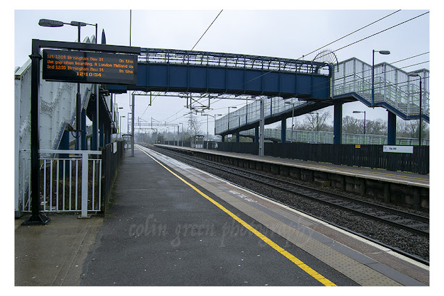
Access to the platforms varies. Platforms 1 and 2 are reached via steps descending from a nearby road bridge, while platform 3, located to the south of the station, offers a unique approach by crossing the tranquil Huddersfield Narrow Canal, which runs alongside it.
While the station is undoubtedly popular, especially for those venturing to the Standedge Tunnels and Huddersfield Narrow Canal, its facilities are somewhat limited. There is no visible disabled access, no public toilets, and only minimal shelter and seating on the platforms. Nevertheless, its appeal remains strong, with the station serving an impressive 175,000 passengers in the last full year before the pandemic, averaging approximately 3365 per week, ranking it as the 50th busiest in West Yorkshire.
This recent visit to Marsden Railway Station on July 25, 2020, was my second time exploring its character. My intention on this occasion was to embark on a walk along the scenic Huddersfield Narrow Canal towards Slaithwaite. For those interested, I have previously shared images from my last visit to the station. The photographs accompanying this post were captured using my Nikon D3300 SLR, aiming to showcase the station's charm and its beautiful surroundings.
Join me in these images as we take a closer look at Marsden Railway Station, a testament to railway heritage set against the stunning backdrop of the Pennine landscape.
Clicking any of the images below should open a link in another window to my Colin Green Photography store on Zazzle.
 |
| The Huddersfield Narrow Canal, Lock 42 which sits adjacent to Marsden Railway Station Platform 3. |
 |
| Bench and sign on the station's platform 1. |

 |
| Huddersfield bound train stopping at platform 1. |
 |
| Taken from the end of platform 2 looking across from what once would have been the third platform to what is the modern day platform 3. |
 |
| The stations only platform 1 and 2 entrance, the steps down from the bridge. |
 |
| Looking eastwards along platform 2 in the direction of platform 1. |
 |
| Platforms 2 and 3 pictured from Station Road Bridge. |
 |
| Platform 2 pictured from the end of platform 1. |
 |
| Platform 1 and 2. |
 |
| Platforms 1, 2 and 3 pictured from Station Road Bridge. |
 |
| The former island platform 3 pictured from the current platform 3. |
Please take a moment to share this post, follow me on social media, and explore my work on Clickasnap and Photo4Me using the links below. Your support means a lot!


All the pictures remain the copyright of Colin Green.