
Sometimes, a single photograph, captured in a hurried moment, can tell a surprisingly rich tale. Such is the case with my solitary image of Tile Hill Railway Station, snapped quickly on January 18, 2017, as my train to Berkswell was just pulling in. Living some 100 miles away, it's unlikely I'll ever return to this spot, making this one picture the sum total of my visual record of the station. Yet, even this fleeting glimpse, combined with the station's history, paints a vivid picture of its evolution and importance.
Tile Hill serves the suburbs of Coventry in the West Midlands, strategically located on the vital main line railway connecting London Euston and Birmingham New Street. Its origins trace back to 1850 when it first opened its doors as Allesley Lane. A couple of name changes followed, to Allesley Gate in 1857, before finally settling on Tile Hill on April 1, 1864 – a fitting name for a station deeply embedded in the local community.
Originally, the station featured staggered platforms on either side of the Cromwell Lane level crossing. This layout remained largely unchanged for over a century until the transformative 1960s. The electrification of the main line necessitated a complete rebuild of the station into its current, more modern form. Further significant changes arrived in 2004 when the old level crossing was replaced by a bridge, and a new platform connecting bridge was constructed, enhancing accessibility and safety for passengers.
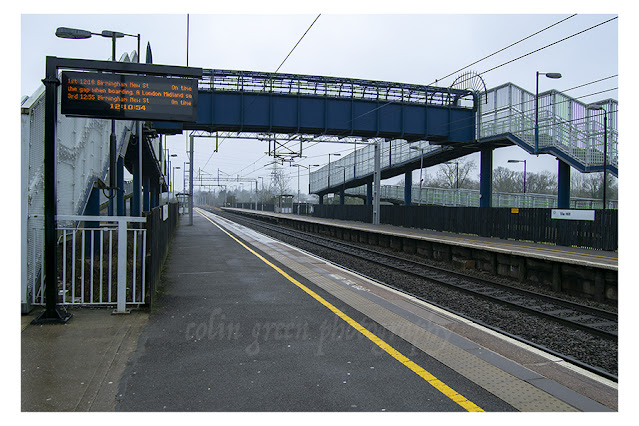
My photograph, taken with a Nikon D3300 SLR, captures this modern iteration of the station, showcasing the broad, open platforms and the overhead footbridge connecting them. The digital display board, though slightly obscured, gives a sense of the constant rhythm of arrivals and departures.
Tile Hill has historically been a bustling hub. With a ticket office open seven days a week at various times, it typically saw an impressive average of approximately 700,000 passengers per year. However, recent times have presented significant challenges. A combination of car park developments and the unprecedented impact of the COVID-19 pandemic led to a dramatic drop in numbers, plummeting to just 107,000 during the 2020-21 period. This represents an average reduction of around 11,000 passengers per week, a stark reminder of the widespread effects of global events on local infrastructure.
Despite this recent downturn, Tile Hill remains a crucial link in the railway network, offering two trains per hour in both the Birmingham and London directions. My quick snapshot may be the only visual souvenir I have of this station, but it serves as a portal to its rich past and its enduring role in connecting communities. It's a testament to how even a hurried moment can encapsulate a significant story, prompting reflection on the constant evolution of our transport systems and the ever-changing lives they serve.
Clicking the image will open a link in another window to my Colin Green Photography store on Zazzle.
Please take a moment to share this post, follow me on social media, and explore my work on Clickasnap and Photo4Me using the links below. Your support means a lot!


The picture remains the copyright of Colin Green.


