Valley Parade, a name that evokes a deep sense of pride and a poignant memory for many, stands as the home of Bradford City AFC in the Manningham district of Bradford. This stadium is more than just a football ground; it's a monument to the city's rich sporting history and an enduring symbol of resilience in the face of tragedy.
A Century of Sporting Heritage
The stadium's history stretches back to 1886, when it was built on the site of a quarry as the home of Manningham FC, the first champions of the Northern Union (rugby league). Bradford City took up residence in 1903, and since then, Valley Parade has also hosted other teams, including Bradford (Park Avenue) and Bradford Bulls RLFC, cementing its status as a central pillar of West Yorkshire's sporting community.
The stadium itself has undergone many transformations. Until 1952, it was largely unchanged from its early days, but a major structural fault in the Midland Road Stand led to its demolition. For a time, Valley Parade was a three-sided ground until the new East Stand was finally completed in 1966. The pictures from December 2022 show the modern, all-seater stadium, a far cry from its earlier iterations.
Remembering the Tragedy of 1985
On May 11, 1985, Valley Parade was the scene of one of the worst disasters in the history of sport. A fire swept through the wooden structure of the Main Stand (now the JCT 600 Stand), a tragedy that claimed the lives of 56 people and injured 265 others. This event forever changed the stadium and the community.
In the years following the disaster, the stadium was completely rebuilt from the ground up. Today, it stands as a state-of-the-art, all-seater stadium with a capacity of 25,136, spread across five distinct stands, including the Main Stand which was rebuilt to modern safety standards. The new stadium is not just a place for sport; it is a powerful memorial to those who lost their lives, a testament to the community's strength, and a symbol of hope and renewal.
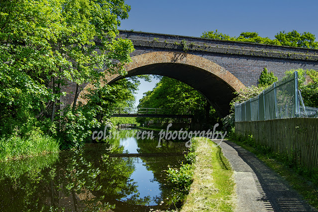
Clicking the pictures below should open a link in another window to my Colin Green photography store on Zazzle.
The Main (West) Stand
The JCT 600 Stand, or the Main Stand, is the centerpiece of Valley Parade, a structure with a unique and defining presence. It's the largest stand in the stadium, with a capacity for 9,004 fans, yet it's distinctive for not stretching the full length of the pitch. Instead, the stand occupies just three-quarters of the pitch-side space, with offices filling the remaining quarter. This design gives the stand a unique visual character and creates a natural boundary between the roaring crowd and the administrative heart of the club.
In a small, open section near the offices, a patch of uncovered seating offers a different kind of matchday experience, exposed to the elements. This slight quirk in the design adds to the stand's charm, making it a truly unique feature of the iconic stadium.
The Midland Road (East) Stand
The Midland Road Stand at Bradford's Valley Parade is more than just a single tier of seating; it's a testament to the club's past and the ambition of a former era. With a capacity of 4,500, this stand is a familiar sight to fans, particularly as it's the section used to house away supporters.
Around the turn of the millennium, former chairman Geoffrey Richmond envisioned a far grander future for this part of the stadium. His ambitious plan was to add a second tier, which would have increased the East Stand's capacity to a remarkable 10,000. This project, a symbol of the club's high hopes, never came to fruition. Despite this, the stand remains a crucial part of Valley Parade's identity, a place where rival fans gather to create a vibrant atmosphere and add to the rich tapestry of the matchday experience.
The Kop
This picture perfectly captures the unique character of traditional British football stadiums. Unlike modern, out-of-town arenas, Valley Parade is deeply woven into the fabric of its community. The image shows the Kop Stand rising dramatically over the terraced houses of Rear Rock Terrace, a powerful reminder that the stadium is part of the neighbourhood, not separate from it.
The stadium’s distinctive, asymmetrical shape is a result of this close relationship. Local folklore says the odd angle of the main stand is a direct consequence of the "right to light" laws, which prevented major development from casting a shadow over the homes to the east. This isn’t just a stadium; it’s an urban fortress, built in harmony with the houses that have stood watch over it for generations, a true symbol of football's place at the heart of the community.

The Kop Stand is more than just a place to watch a match—it’s a powerful symbol of fan passion. As the second largest stand in the stadium, with a capacity for 7,492 supporters, it's a vibrant heart of the club. What makes this Kop particularly unique is its design: unlike the traditional, single-tiered Kop stands found in many British stadiums, this one rises in a distinctive two-tiered structure, a modern twist on a classic footballing tradition.
TL Dallas (South) Stand
While the other stands at Valley Parade rise majestically, the TL Dallas South Stand holds its own with a distinct, compact character. Tucked in by Holywell Ash Lane, this two-tiered stand is the smallest in the stadium, with a capacity of 1,840. Despite its size, it’s a crucial part of the ground's atmosphere, as it traditionally houses the away fans. This unique role, combined with its intimate scale and the physical limitations on its expansion, makes the South Stand a a small but vital part of the stadium's story.
Please take a moment to share this post, follow me on social media, and explore my work on Clickasnap and Photo4Me using the links below. Your support means a lot.
All the images remain the copyright of Colin Green.


%2012%20x%208.jpg)
%2012%20x%208%20copy.jpg)
%2012%20x%208.jpg)
%2012%20x%208.jpg)


